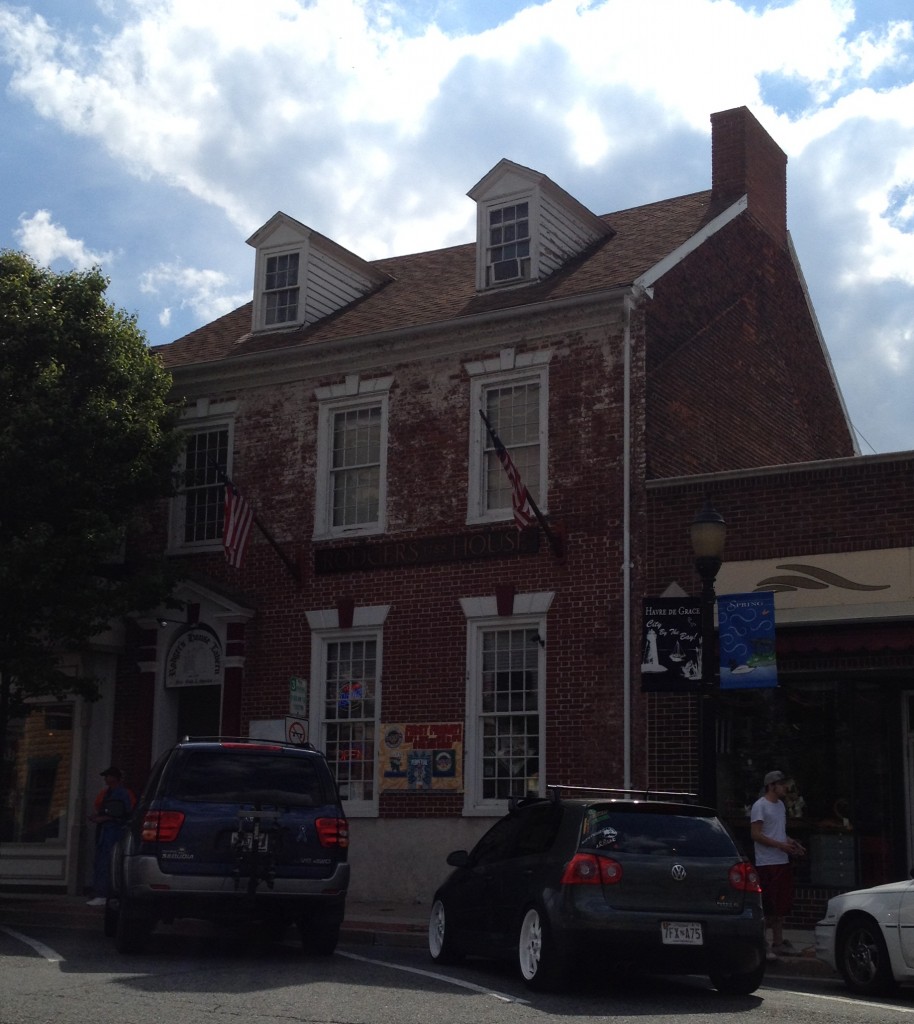
There’s nothing like a few days of spectacular weather to encourage two Ph.D. students to get out of the house. Last Saturday, my partner Tyler and I ventured to Havre de Grace, Maryland, to investigate the town and its museums. We found a great used book store just a few steps away from the town’s oldest extant building.
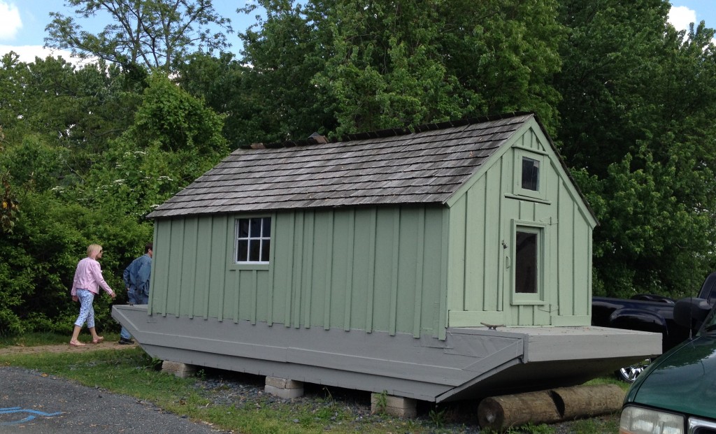
We also learned that this circa 1900 Shad Shack’s preservation depends on the public’s beneficence.
Its interior is intact, too. As I have written elsewhere, I am entranced by the interpretive value workspace “period rooms” hold for us.
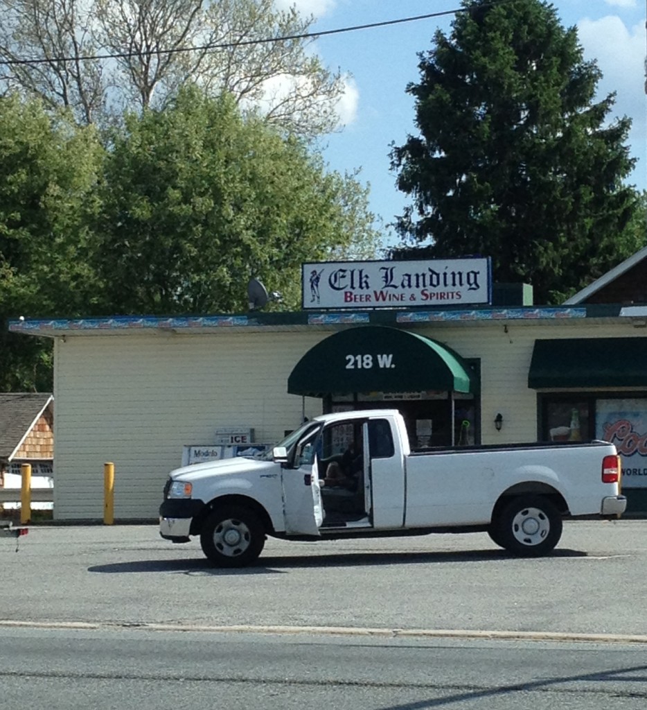
On the way back to Newark, we spontaneously followed a sign for “historic” Elk Landing. Little else along busy route 40 indicated its presence just a stone’s throw down the road save this liquor store featuring a Revolutionary War soldier graphic.
After we turned at the intersection and drove past a few homes and a prison, we encountered Elk Landing.
Elk Landing’s national historical significance lies in that General Howe’s troops supposedly navigated up to this site from farther the Chesapeake Bay during the Revolutionary War. From there, the British went on to the Philadelphia Campaign through northeastern Maryland, northern Delaware, and southeastern Pennsylvania. This movement culminated in the British defeat of the Americans in the battle of the Brandywine.
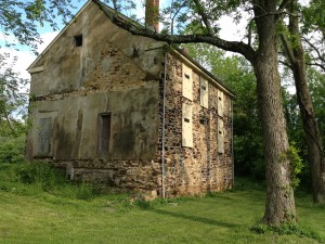
Today, in addition to the landscape itself, a circa 1800 home and a circa 1780 stone building on the Elk River constitute “Historic” Elk Landing.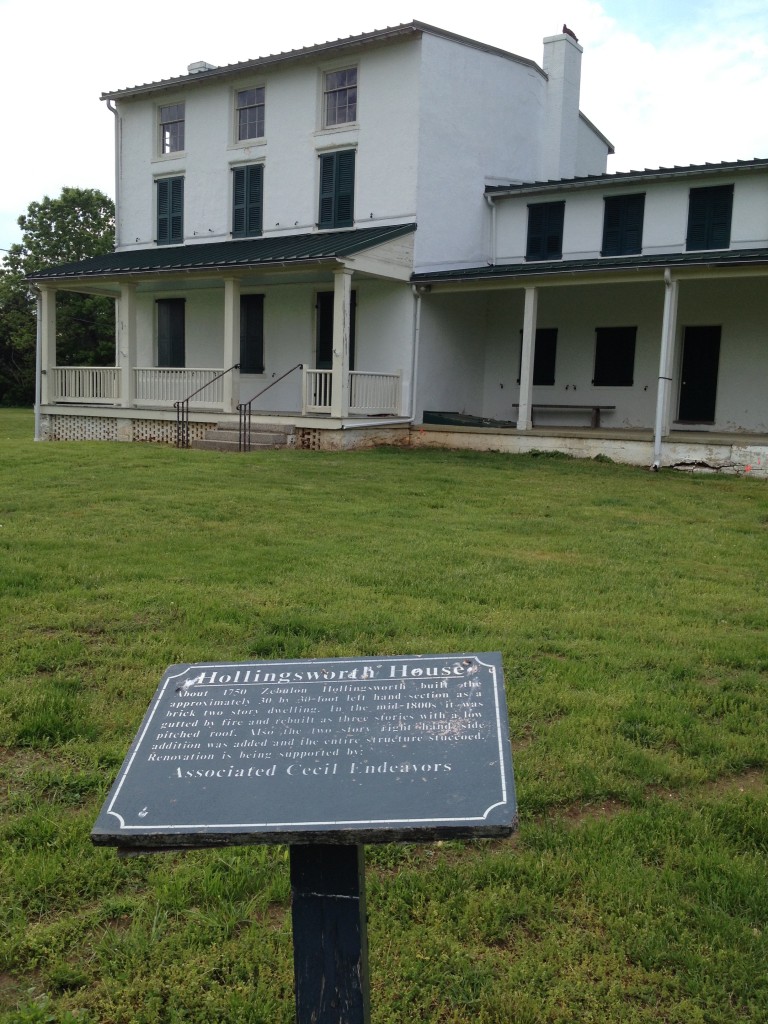
The town of Elkton owns the site, and the group that cares for the property hosts occasional gatherings at the larger of the two buildings. The stone building, though not in use, has been thoughtfully boarded up. Perhaps the current keepers of the Kux Alrich House could get some inspiration from this type of preservation.
We found a few signs indicating the yet-to-be-fulfilled intention to develop a “living history museum,” complete with a blacksmith shop and a cooperage.
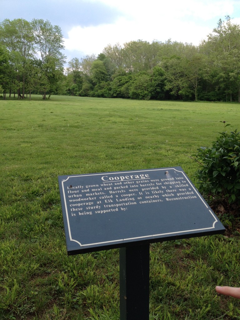
At first, I thought this was an unfortunate failure. But I realized that the group smartly decided not to go ahead with each of these projects until they had funding for them. For now, the buildings and the landscape are preserved, well-kept, and accessible to history nerds like us (and a giant turkey vulture.)
This visit to Elk Landing capped off the end of an enjoyable day. By the following afternoon, I was eager to visit the site where Howe’s troops first landed in Maryland, before they marched up to Elk Landing.
So as the afternoon started to wane, Tyler and I went off to find Elk Ferry, known as Oldfield’s Point in the 1770s.
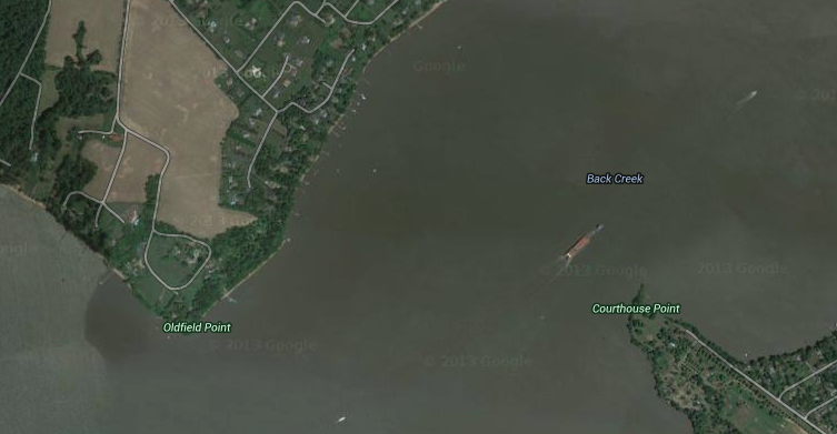
Turns out our friends at Google have also labeled the point on its map, but, frustratingly, someone had marked the road to the point as private. Soldiering on, we cruised by some homes along the shore just north and east of Oldfield’s Point, and we could, in fact, see water from the car. Still unsatisfied, we Googled some more and came across a historical marker that commemorates the overlook of Howe’s landing.
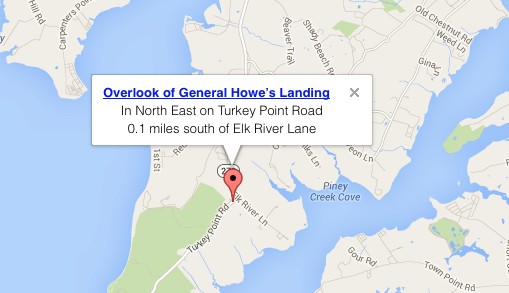
At first, I was bummed that we couldn’t get to Oldfield’s Point. I had wanted to be where Howe and his troops at landed. But we deemed the overlook…
…which was in front of a church outdoor amphitheater that also overlooked the Bay was quite charming in and of itself. And if we had been able to drive down Oldfield Point Circle, we might not have bothered to find the overlook. According to Battle of Cooch’s Bridge (1940), “the people were numerous and well-dressed” when they watched Howe and his men make their way onto the shore from this spot. I find it fascinating that, historically, civilians turned out to take in military maneuvers and battles. We generally avoid doing that today, if only because we would be in comparatively more danger given the increased power and precision of modern weaponry.
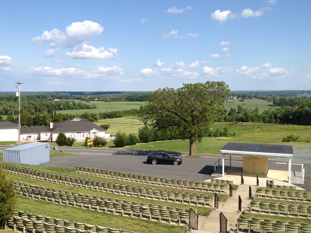
We had assumed we would have to drive to the end of Elk Neck just to the west to get to or see the landing site. Thanks to the overlook, that wasn’t the case. Even though we made it there and spied Oldfield’s Point, we decided to venture to the end of the peninsula, anyway, to see what the State Park there had to offer. After making a short trek down a path along the water, in the shadow of an early nineteneth-century lighthouse, we took in a magnificent view of the Chesapeake Bay.
We thought day two’s hunt would provide us with an hour-long distraction. Instead, we found several “new to us” historic sites nearby that, at first, eluded our abilities to make good use of our reference books and maps. If Google or other powers that be had marked these local historical sites on Google Maps (as we initially wished they had), we would have spent far too few hours exploring our nearby history.


Thanks for the blog. I have 2 of my 2nd great grandfathers and their wives, as well as some of their children, buried at Hart’s United Methodist Church. I spent many summers at Elk Neck enjoying the Elk and North East Rivers when I was a child. I’m now 75 living in Washington State.
Thanks for reading!
Hello and thank you for this excellent information. My gr grandfather was born in Elks Neck , Md in 1862. Would you by chance know of any black burial grounds in Perryville, Md. ?
Kim Griffin
Hi, Kim,
As I said in my email, check your local library for access to Ancestry Library Edition, or check in with the folks at the Cecil County Historical Society (http://cecilhistory.org). They might be able to help you out. I’m to familiar with the burying grounds in that region. Thanks for reading!
Nicole, your story was very interesting to me. My family historically is from the Elk Neck/Oldfield Point area. A several times great grandfather bought the “Ferry Farm” and managed the ferry between Oldfield Point and Courthouse Point. Another ancestor sold the farm several years before the British incursion. Another ancestor helped with the new (at the time) Hart’s Church. I’ve walked around Hart’s and enjoyed the view. I’ve also driven over to the site of the Ferry Landing a very few times when I was in the area on business. Thanks for posting your article.
Thanks so much fo sharing, Roland!